
Lockport ZIP Directory Coverage
Official sources support one core postal label and several record-specific clues. The USPS Lockport location page places the main post office, carrier annex, and State Street station under 60441. Separately, a Will County parcel query for records whose city field equals LOCKPORT returned three ZIP values. That field is not a complete city-to-ZIP crosswalk.
| ZIP | Area evidence | Postal office evidence | Use and caution |
|---|---|---|---|
| 60441 | City, library, USPS, and county parcel records use it | Lockport Post Office and stations | Best first postal check; not the city polygon |
| 60435 | Appears on parcels with CITY=LOCKPORT | Exact assignment not confirmed here | Test full address and PIN |
| 60491 | Appears in parcel query and USPS routing data | Routing relation, not a boundary | Validate the exact address |
| 60446 | Appears in USPS routing row with Lockport label group | Nearby routing clue | Not confirmed as Lockport parcel ZIP |
| 60442 | Nearby Will County label | No Lockport-specific assignment captured | Do not infer city location |
This ZIP code directory therefore describes what the records can support, not a guessed boundary. There was no verified Lockport-only population table by ZIP in the research, so resident counts should not be estimated from parcel rows or Census areas.
Lockport ZIP Code 60441
The main Lockport Post Office is listed at 950 E. 9th Street, Lockport, IL 60441-9900. USPS also lists a carrier annex at 954 E. 9th Street, 60441-9996, and a station at 423 N. State, 60441-9807. These suffixes identify delivery facilities and are not ordinary household ZIP+4 examples.
The official capture shows the postal location and delivery context.
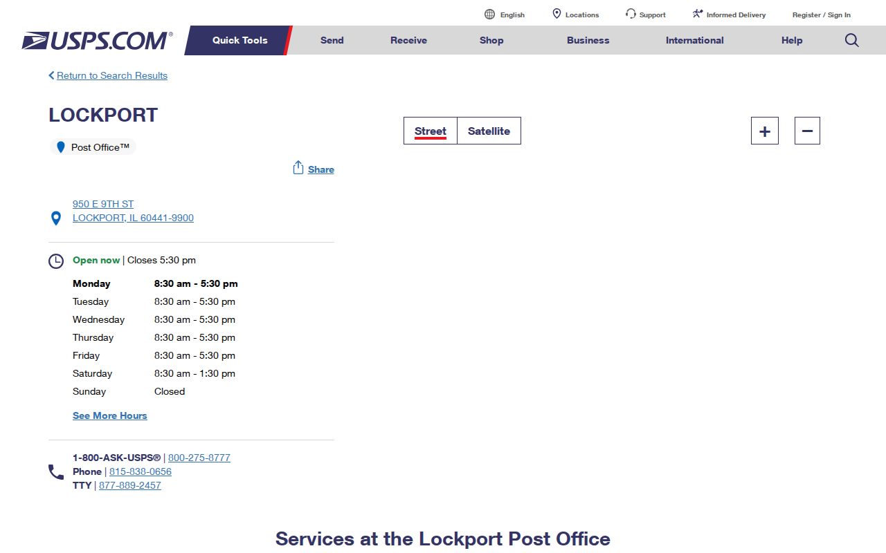
The post office result makes 60441 the strongest first check for a Lockport mailing address, while the full street remains essential.
Three Lockport Parcel ZIP Values
A reproducible query against the Will County parcel layer returned 60435, 60441, and 60491 for records with CITY=LOCKPORT. This is the key local quirk. It means those values appear in a county field; it does not mean each ZIP sits wholly within Lockport or that every address using one belongs to the city.
Preserve the exact query logic: CITY equals LOCKPORT, return only ZIP_CODE, request distinct values, and omit geometry. Then test a specific address in USPS and view its parcel. If the results disagree, report both labels rather than replacing one.
That difference prevents a ZIP code directory from becoming a false resident list. It also explains why searching just the postal code may pull in nearby addresses that need a separate city-limit check.
Lockport ZIP Search Fields
Not every official portal accepts a ZIP. The county assessor address form starts with the 9-1-1 street number and name, plus an optional city. The parcel service exposes ZIP_CODE as a data field. County voter lookup uses a name, date of birth, and house number instead of ZIP. I-Cash permits ZIP as an optional narrowing field after names, but any match is only an unclaimed-property lead.
| Official source | ZIP field | Other input | What the result means |
|---|---|---|---|
| USPS location/address tools | Postal ZIP and ZIP+4 | Complete address | Current delivery label |
| Will County GIS parcel layer | ZIP_CODE attribute | CITY, address, PIN, or map query | County parcel record geography |
| Assessor Address Search | No visible ZIP input | Number, street, optional city | Parcel match |
| Will County voter lookup | No visible ZIP input | First and last name, birth date, house number | Registration self-check |
| Illinois I-Cash | Optional narrowing field | Required personal or business name | Property claim lead, not residence |
Choose the portal for its record, not because it happens to accept a ZIP code. A postal field answers a different question from a parcel or voter field.
Find Lockport Residents by ZIP
A ZIP code can reduce a large search area, but the workflow should move from delivery label to local record geography. Each step answers one limited question.
- Enter the complete street address in USPS and save the returned postal city, ZIP, and ZIP+4.
- Search the Will County Assessor address form without a ZIP, using the street number, name, and city when needed.
- Open the parcel in the county GIS and record its CITY, ZIP_CODE, and parcel identification number, or PIN.
- Compare the parcel shape with a municipal layer and Lockport's official map page.
- When labels conflict, keep the postal and county results side by side. Use the PIN for recorded-document identity.
Once the search reaches a named road, the Lockport street directory covers the address-level record chain. That keeps ZIP granularity from being confused with a claim about who occupies one home.
Note: Record each source URL and access date because parcel layers, delivery labels, and map editions may change on different schedules.
Map Lockport ZIP Record Geography
The Will County GIS Data Viewer supplies local layers and map context. The live HTML viewer did not initialize during research, but the official GIS pages and REST parcel service remained useful alternatives. That access gap should be stated rather than hidden.
The county guidance captured below introduces GIS layers and viewer access.
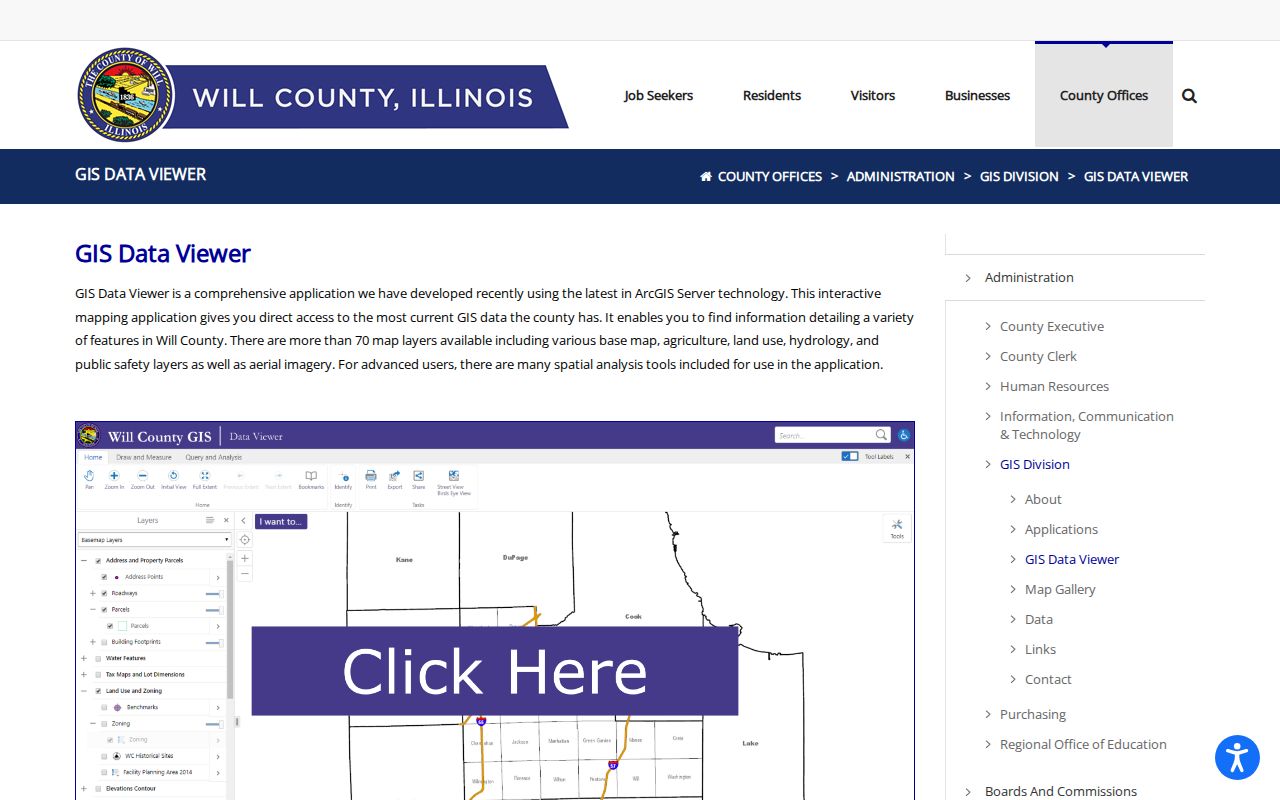
The map source helps compare an address point, parcel, and municipal layer. It does not turn a ZIP route into a legal city boundary.
The Will County GIS Division also publishes map and data resources.
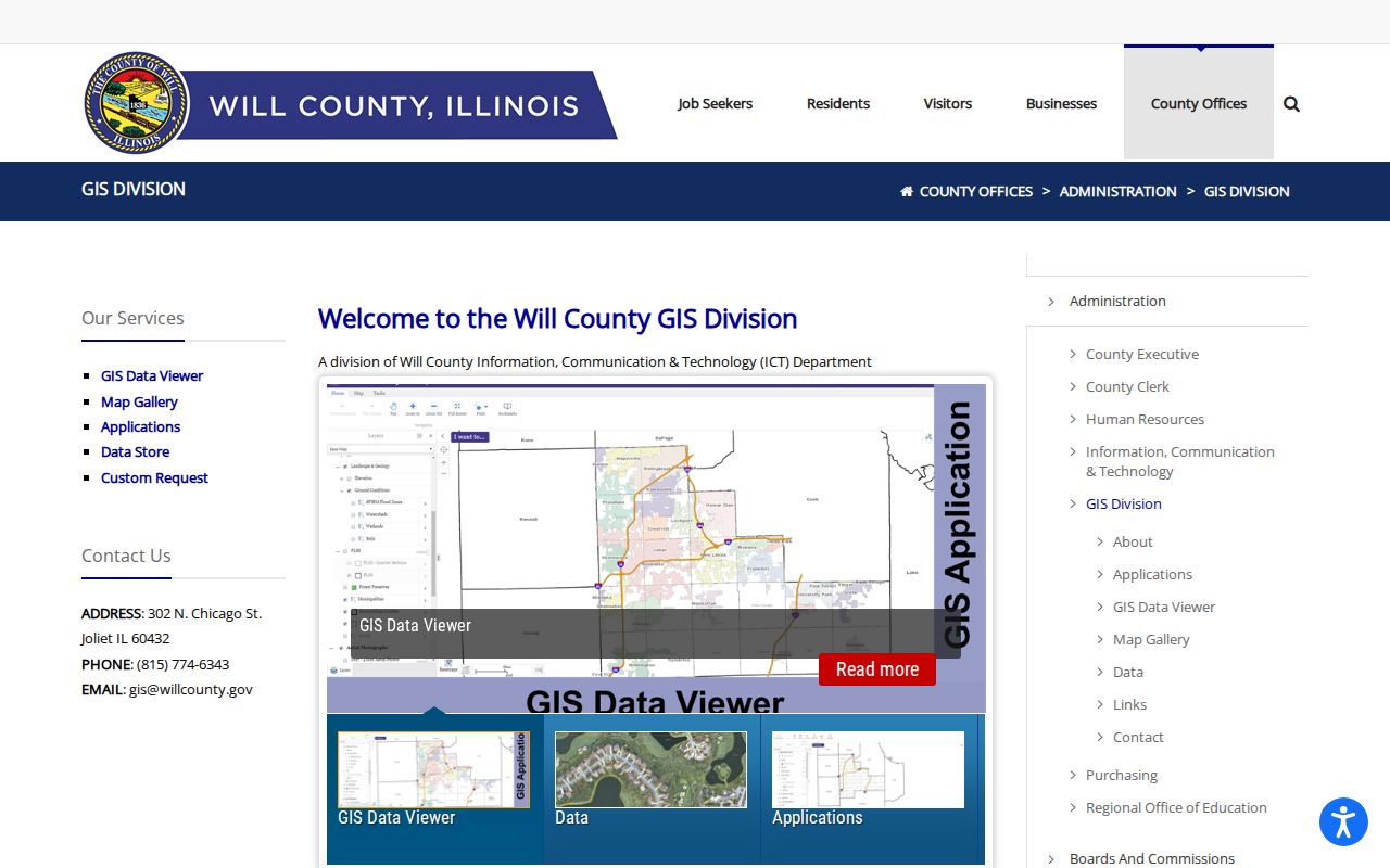
Those resources provide the fallback when the interactive viewer fails, while the parcel service preserves field-level query evidence.
Lockport ZIP Codes Versus ZCTAs
The Census Bureau ZIP Code Tabulation Area guidance explains that USPS ZIP Codes are delivery routes. ZCTAs are statistical shapes assembled from census blocks. A valid postal ZIP may lack a ZCTA, and a ZCTA may contain enclaves or disconnected pieces.
The official guidance appears in this capture.
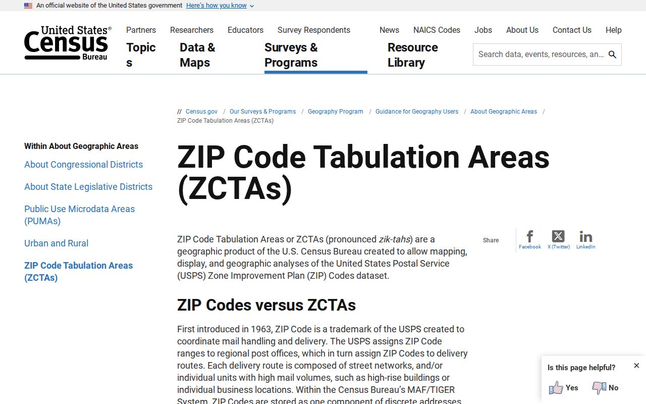
Use the Census geography for statistics only when its year and code are named. Use USPS for current deliverability and county data for the parcel. Never add ZCTA population figures and call the total Lockport's ZIP population.
Lockport ZIP Directory Terms
Postal and land-record terms often look alike because they use compact codes. Their purposes remain separate.
- ZIP Code
- A USPS code for routing mail, not a municipal boundary.
- ZIP+4
- A more exact delivery segment added to the five-digit ZIP.
- PO-box ZIP
- A ZIP or suffix used for post-office-box delivery; no separate Lockport-only ZIP was confirmed here.
- Unique ZIP
- A ZIP assigned to a high-volume organization; none was established for Lockport research.
- Carrier route
- A group of delivery points served by a postal carrier.
- PIN
- The county parcel identification number used to track land records and tax geography.
The ZIP narrows where mail goes. The PIN identifies a legal parcel in county systems. When deed identity matters, rely on the PIN and legal description rather than the ZIP.
Lockport City Limits and ZIP Labels
No official current boundary-to-ZIP crosswalk for every Lockport address was found. The safe conclusion is narrow: 60441 has strong local postal evidence, while 60435 and 60491 appear in the county's LOCKPORT parcel-city results. Nearby labels require an exact address check.
Do not treat a commercial boundary map as final. Compare USPS, the county parcel, the municipality layer, and Lockport maps. Where the fields conflict, cite each source and leave the conflict visible. That is more accurate than forcing every address into one ZIP code directory category.