
Find Lockport Neighbors by Block
No official source lists every person on a Lockport block. Will County GIS supplies parcel geometry and address fields. The Supervisor of Assessments supplies property-search routes. City maps add wards, zoning, and subdivisions. White Oak Library and dated Sanborn sheets can show earlier block patterns. Each has a limited role, so the first step is choosing the source that matches the question.
| Source | What It Shows About a Block | Access |
|---|---|---|
| Will County parcel layer | Parcel polygons, address parts, PIN, ZIP, and map relationships | Free REST service and viewer guidance |
| Supervisor of Assessments | Address, PIN, owner, subdivision, sale, and class search routes | Free public portal |
| Lockport city maps | Ward, subdivision, zoning, and local boundary context | Free city maps |
| White Oak local history | Dated directory, phone-book, yearbook, and vertical-file clues | Library assistance and in-library holdings |
| City Clerk records | Plats, plans, permits, dedications, minutes, and inspections | Index, online documents, or focused FOIA request |
An assessment owner can live elsewhere, and the public GIS layer captured in this research does not expose an owner field. A mailing address is also not an occupancy statement. Treat names as documented roles and describe the source date. That simple practice keeps a neighbor search accurate.
Lockport Parcel Geometry Explained
The Will County parcel REST layer supports spatial relationships such as Touches and Distance. Those tools can select parcels that share a boundary or sit within a chosen range. The fields include PIN, recorder-formatted PIN, separate house and street parts, city, ZIP, property class, valuation date, acreage, and polygon geometry. The layer did not show owner names in the captured sample.
Map dates matter. County metadata identified weekly updates for address points and streets, Summer 2026 parcels, March 2026 municipality boundaries, June 2026 taxing layers, and older dates for buildings and railroads. Two layers can disagree because they describe different things or were refreshed at different times.
- Address point
- A mapped site or structure location, which may not match a parcel center.
- Parcel polygon
- The mapped outline of a tax parcel, not a household boundary.
- PIN
- The parcel identification number that ties assessment and recorded-land work together.
- Touches
- A spatial test for polygons that share an edge or point.
Map a Lockport Neighbor Block
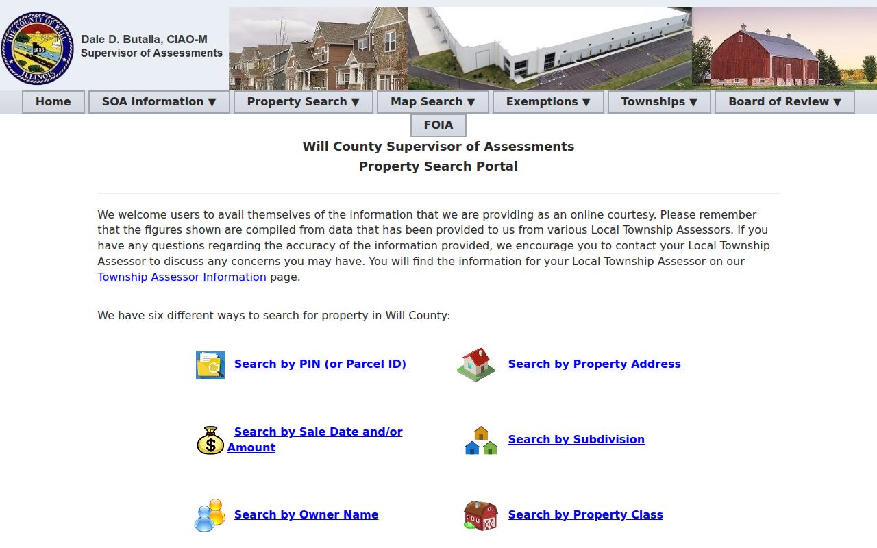
Begin with one exact address in the Will County Property Search Portal. Use the separate address form if needed, where street number, street name, and city can each be searched. Number-only and street-only searches behave broadly, so combine fields before selecting a parcel. Then move to GIS for adjacency.
- Find the address in the assessment search and record every plausible PIN.
- Open the parcel layer, select the matching geometry, and note its layer date.
- Use Touches or Distance to identify nearby parcels, then inspect each PIN separately.
- Compare assessment and recorded-land roles without claiming that an owner occupies the site.
- Switch to the full street chain only when the question extends past the immediate block.
The Lockport street directory handles a whole named street and its deed chain. For neighbors, stop at the immediate cluster and save the parcel set, query method, and date. That boundary prevents the block task from becoming an unfocused citywide search.
Open the official property portal before viewing its search screen.
Lockport Neighbors Across Boundaries
A postal neighbor is not always a municipal neighbor. Parcel records whose CITY field is LOCKPORT returned three ZIP values in the research, yet that field is not a city-limit certificate. USPS delivery labels, Census ZIP Code Tabulation Areas, municipal boundaries, and parcel attributes solve different problems. Use the City of Lockport maps for wards, zoning, and subdivision context, then compare the current county municipality layer.
The same caution applies to political and tax geography. GIS offers school, township, political, and taxing layers, but each has its own date. A ward map can explain which city area surrounds an address. It cannot show a person's vote or political preference. Election assignments must be checked through the relevant county source for the election year.
Map check. Record the postal label, parcel CITY field, municipal layer, and ward separately whenever they disagree.
Lockport Block Records Beyond Parcels
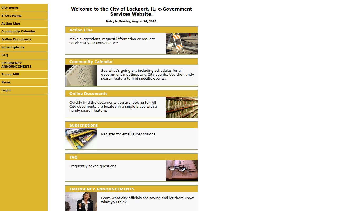
Property shape is only one layer of a block. The City Clerk record index includes plats, surveys, plans, easements, dedications, annexations, permits, inspection reports, certificates of occupancy, and city real-estate files. The Lockport online documents portal adds city documents, a calendar, and subscriptions, though its full dynamic result schema was not captured.
Building and code sources must stay separate from deeds. The city Building page was routing applications in person or by email while online permitting was under maintenance. Code Enforcement explains building, zoning, signs, vehicles, weeds, refuse, and pool-barrier topics, but no public violation roster was found. Ask the City Clerk for a narrow record type, block or address range, and date span instead of requesting all records for a street.
Review Lockport's city-document entry point before using the captured screen.
Lockport Community Record Contacts
The research did not locate a public roster for every Lockport neighborhood or homeowners group. That gap should remain visible. Public-facing institutions can still help with block history and civic context, but membership lists and private directories should not be assumed open.
White Oak Library
Use local directories, telephone books, yearbooks, vertical files, and staff help to place a block in a dated source.
Lockport History Society
Ask the Lockport Area Genealogical and Historical Society about public historical resources and citations, not private member details.
Cemetery Association
The Lockport Cemetery Association may answer a lot or burial-record question, although no public interment lookup was located.
These contacts add community evidence without claiming current household membership. Ask for the exact volume, file, map sheet, lot, meeting record, or public contact needed.
Historic Lockport Neighbors on Maps
University of Illinois Sanborn holdings cover Lockport in 1886, 1891, 1897, 1902, 1909, and 1926. A sheet may show block or house numbers, building shape, construction, occupancy labels, and water features. These are dated physical clues, not current resident lists. Bridge a historic sheet to today's parcel only after checking street spelling, alignment, and legal parcel evidence.
The 1886 item is a useful local quirk: it has four colored sheets, a key and index, and public-domain downloads. Canal, rail, mill, and industrial terms also matter because Lockport grew from Runyonstown beside the Illinois and Michigan Canal. White Oak vertical files can help translate those old place terms before names are matched.
Note: A Sanborn block number is not a modern PIN, and a directory listing may be stale or limited to one named householder.
Official Lockport Neighbor Sources
Commercial neighbor tools can merge stale addresses, relatives, phone data, and unrelated people into one profile. Official sources are narrower. Their limits make them easier to audit because each fact has a custodian, record date, and stated purpose.
| Source type | Strength | Key caution |
|---|---|---|
| Official parcel and assessment records | Dated parcel, map, and ownership-role evidence | Does not prove who lives there |
| City, library, and civic records | Plans, public events, historical context, and source citations | Private rosters are not presumed public |
| Commercial compiled tools | May offer a broad lead | Source dates and identity joins may be unclear |
For a defensible result, use the smallest official record that answers the block question. Never treat a compiled profile as proof of a current Lockport household.
Protect Privacy of Lockport Neighbors
Parcel and assessment sources do not establish every occupant, family member, or visitor. Illinois voter access carries redactions and strict bans on personal, commercial, advertising, solicitation, intimidation, and deceptive use. The Address Confidentiality Program can provide eligible survivors a substitute address in state and local records. Recorder redaction is limited to specified sensitive identifiers in a document, not a general name opt-out.
If a city record is needed, request a bounded class and date range under the Lockport FOIA route. Do not copy dates of birth, full street numbers from voter data, private contact details, or live household inferences into a shared list. Ask the source office to correct its own record.
Lawful use. Research Lockport neighbors only for lawful personal, historical, or civic reasons. Never use block records to watch, harass, threaten, or intimidate anyone.